Map · U.S. Census Bureau
Typical rent on the map
In the United States, the figure is $1,413, according to U.S. Census Bureau (Average 2020–2024). By state it runs from $578 in Puerto Rico to $2,036 in California, and the median state is at $1,234.
Your county
And in your county?
Type your county and see its figure next to your state's and the U.S.
The key figures
- United States
- $1,413
- per month · Average 2020–2024
- Highest: California
- $2,036
- 44% above the U.S.
- Lowest: Puerto Rico
- $578
- 59% below the U.S.
American Community Survey · Average 2020–2024 Source: American Community Survey (ACS) 5-year estimates Average 2020–2024 American Community Survey (ACS) 5-year estimates (external site)
Every state on the map
Typical rent in every state and in 3,182 counties across 52 states, on one color scale so you can compare places at a glance. Tap a state to see its counties one by one.
In short
What the map shows
18 states are above the national figure ($1,413) and 34 are below it, out of 52 with data.
If you order the 52 states from highest to lowest, the one in the middle is Vermont, at $1,234.
The highest, California ($2,036), is 3.5 times the lowest, Puerto Rico ($578).
By Census region, the highest middle state is in the West ($1,525) and the lowest in the Midwest ($1,062).
By Census region
The middle state of each region, and the highest and lowest of each.
| Region | Middle state | Above the US | Highest | Lowest |
|---|---|---|---|---|
| NortheastStates: 9 | $1,488 | 5 / 9 | Massachusetts $1,762 | Maine $1,139 |
| MidwestStates: 12 | $1,062 | 0 / 12 | Minnesota $1,280 | South Dakota $946 |
| SouthStates: 17 | $1,189 | 4 / 17 | District of Columbia $1,954 | West Virginia $872 |
| WestStates: 13 | $1,525 | 9 / 13 | California $2,036 | Wyoming $992 |
| Puerto RicoStates: 1 | $578 | 0 / 1 | Puerto Rico $578 | — |
Regions: Census Regions and Divisions of the United States (U.S. Census Bureau). www2.census.gov (external site)
Which states fall in each band
From the highest band to the lowest. The values are the same as the table on the data page.
-
$1,597–$2,03611 states
- California $2,036
- Colorado $1,761
- District of Columbia $1,954
- Florida $1,669
- Hawaii $1,971
- Maryland $1,705
- Massachusetts $1,762
- Nevada $1,597
- New Jersey $1,720
- New York $1,621
- Washington $1,760
-
$1,393–$1,57910 states
- Alaska $1,419
- Arizona $1,543
- Connecticut $1,488
- Delaware $1,401
- Georgia $1,393
- New Hampshire $1,491
- Oregon $1,525
- Texas $1,403
- Utah $1,496
- Virginia $1,579
-
$1,139–$1,34210 states
- Idaho $1,238
- Illinois $1,274
- Maine $1,139
- Minnesota $1,280
- North Carolina $1,228
- Pennsylvania $1,209
- Rhode Island $1,342
- South Carolina $1,180
- Tennessee $1,189
- Vermont $1,234
-
$1,033–$1,12910 states
-
$578–$1,01411 states
- Alabama $1,007
- Arkansas $947
- Iowa $972
- Kentucky $967
- Mississippi $954
- North Dakota $954
- Oklahoma $1,014
- Puerto Rico $578
- South Dakota $946
- West Virginia $872
- Wyoming $992
By county, state by state
Each map colors its counties on the same national scale: the same color means the same range in any state. Tap a state to open its page.
National county scale
- $339–$725
- $726–$935
- $936–$1,166
- $1,167–$1,500
- $1,502–$2,922
- 40 counties without data
-
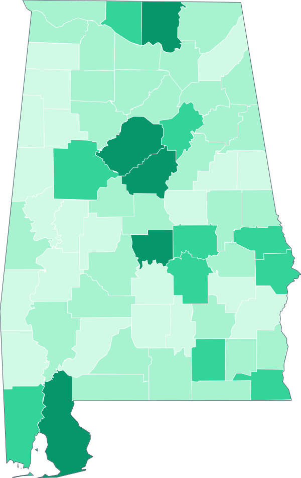 Alabama State value: $1,007 · 67 counties
-
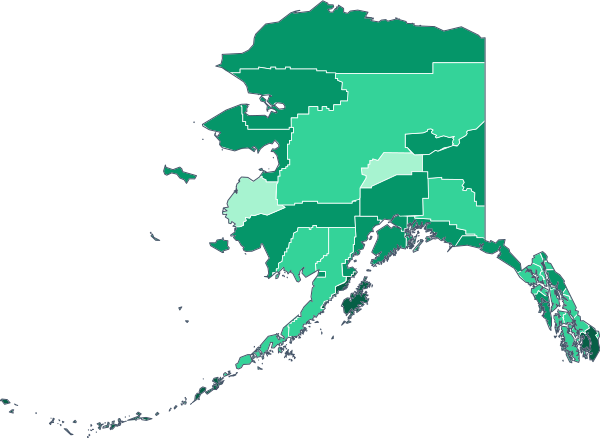 Alaska State value: $1,419 · 30 counties
-
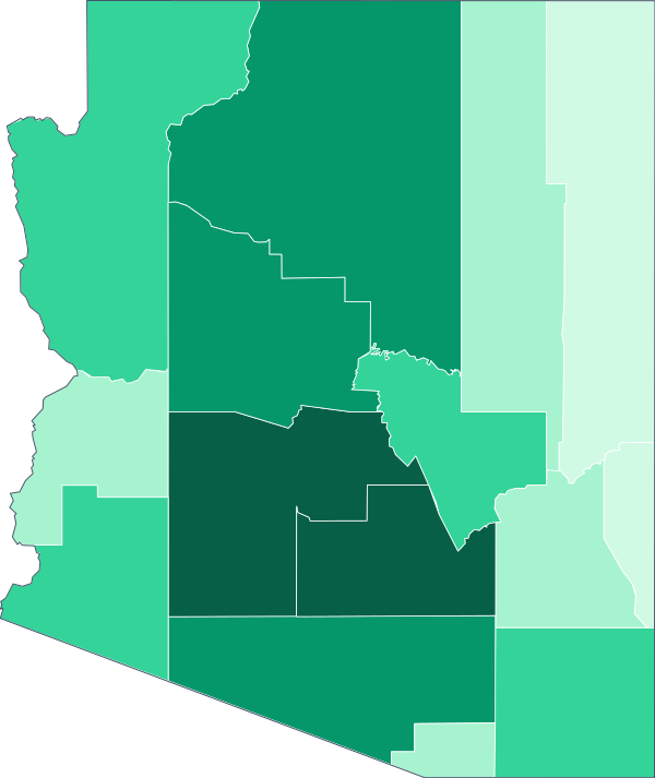 Arizona State value: $1,543 · 15 counties
-
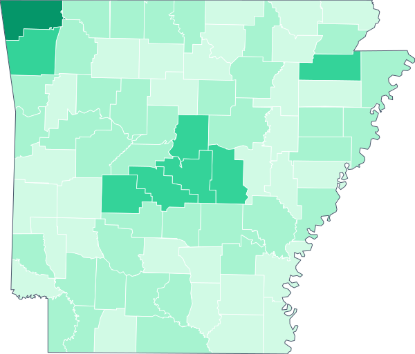 Arkansas State value: $947 · 75 counties
-
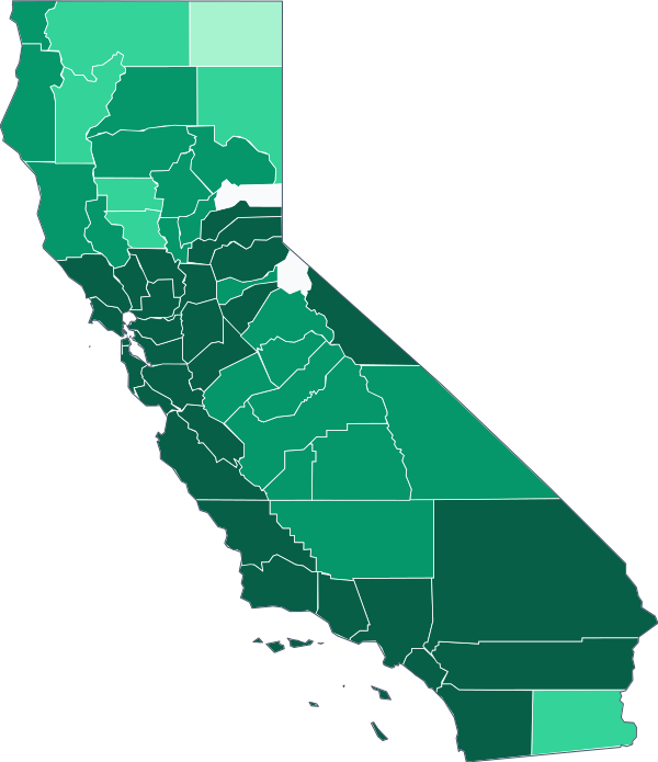 California State value: $2,036 · 58 counties
-
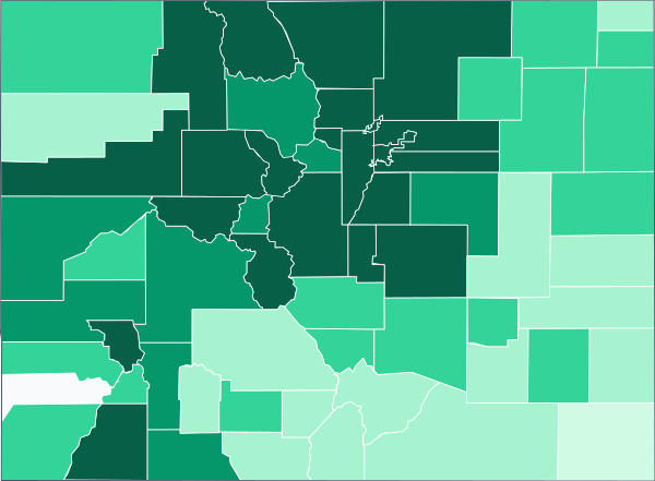 Colorado State value: $1,761 · 64 counties
-
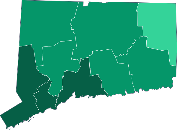 Connecticut State value: $1,488 · 9 counties
-
 Delaware State value: $1,401 · 3 counties
-
 District of Columbia State value: $1,954 · 1 county
-
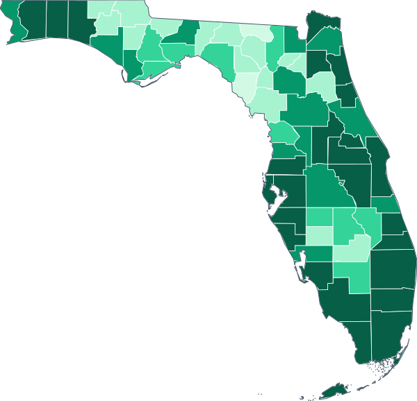 Florida State value: $1,669 · 67 counties
-
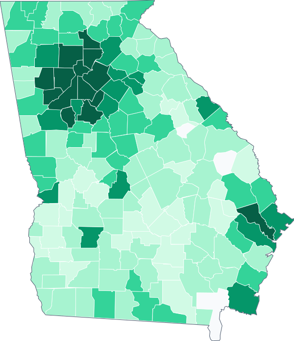 Georgia State value: $1,393 · 159 counties
-
 Hawaii State value: $1,971 · 5 counties
-
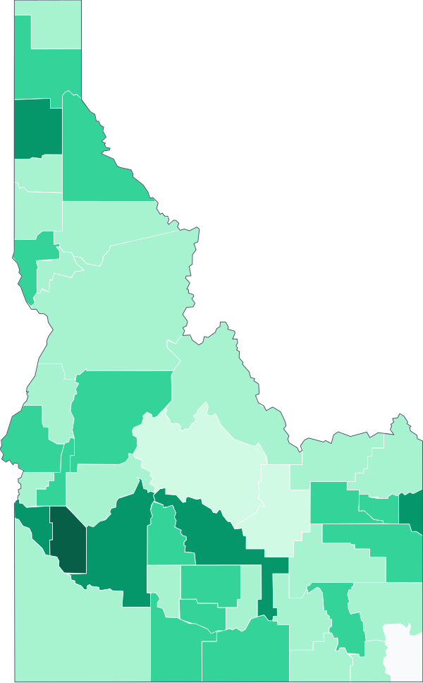 Idaho State value: $1,238 · 44 counties
-
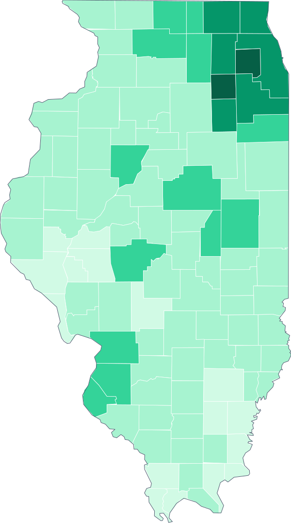 Illinois State value: $1,274 · 102 counties
-
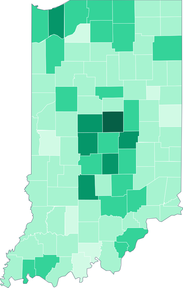 Indiana State value: $1,062 · 92 counties
-
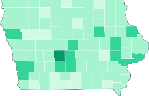 Iowa State value: $972 · 99 counties
-
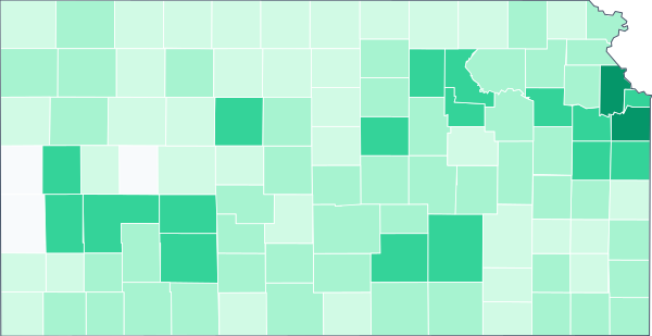 Kansas State value: $1,060 · 105 counties
-
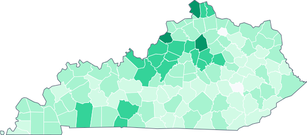 Kentucky State value: $967 · 120 counties
-
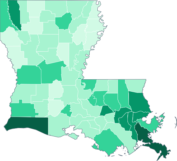 Louisiana State value: $1,064 · 64 counties
-
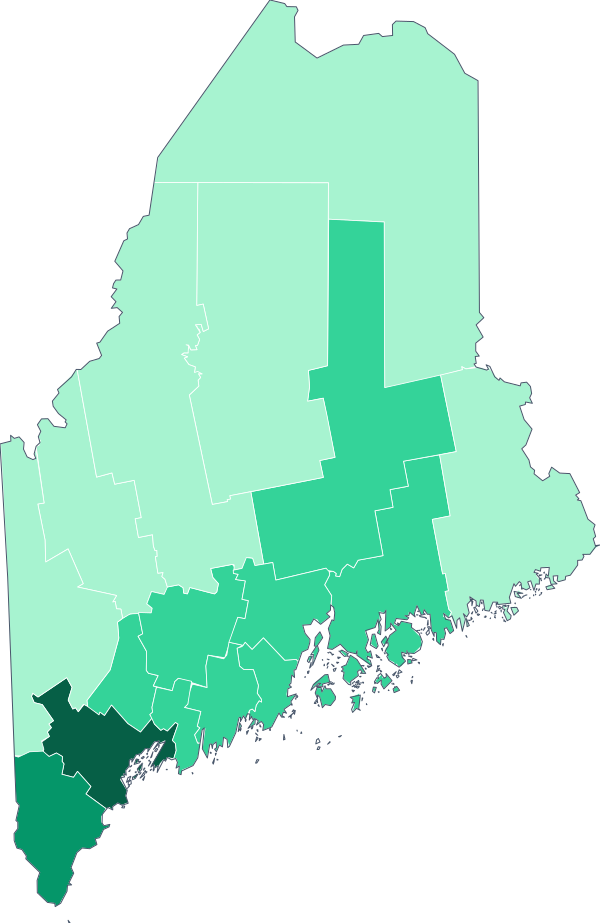 Maine State value: $1,139 · 16 counties
-
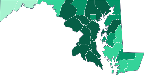 Maryland State value: $1,705 · 24 counties
-
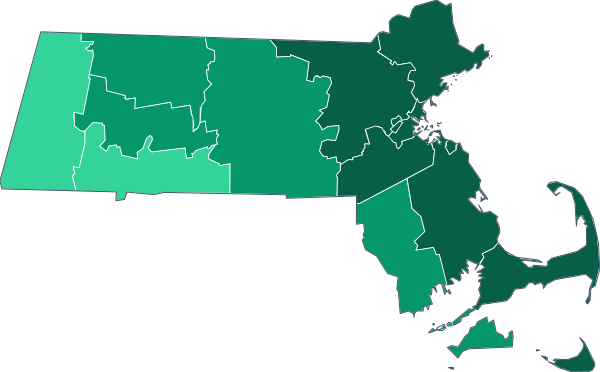 Massachusetts State value: $1,762 · 14 counties
-
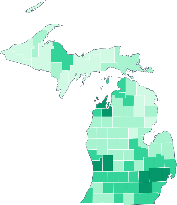 Michigan State value: $1,129 · 83 counties
-
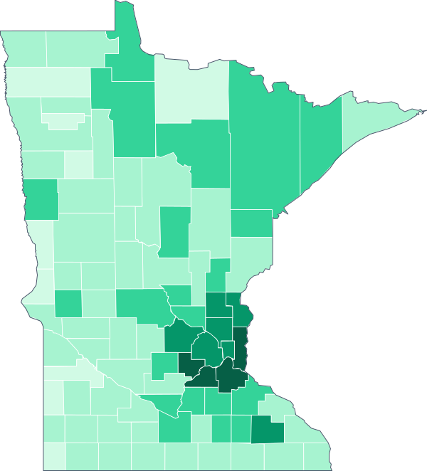 Minnesota State value: $1,280 · 87 counties
-
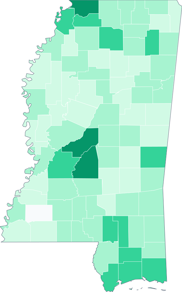 Mississippi State value: $954 · 82 counties
-
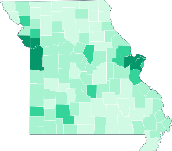 Missouri State value: $1,033 · 115 counties
-
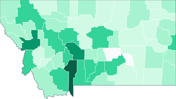 Montana State value: $1,081 · 56 counties
-
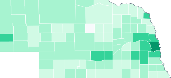 Nebraska State value: $1,072 · 93 counties
-
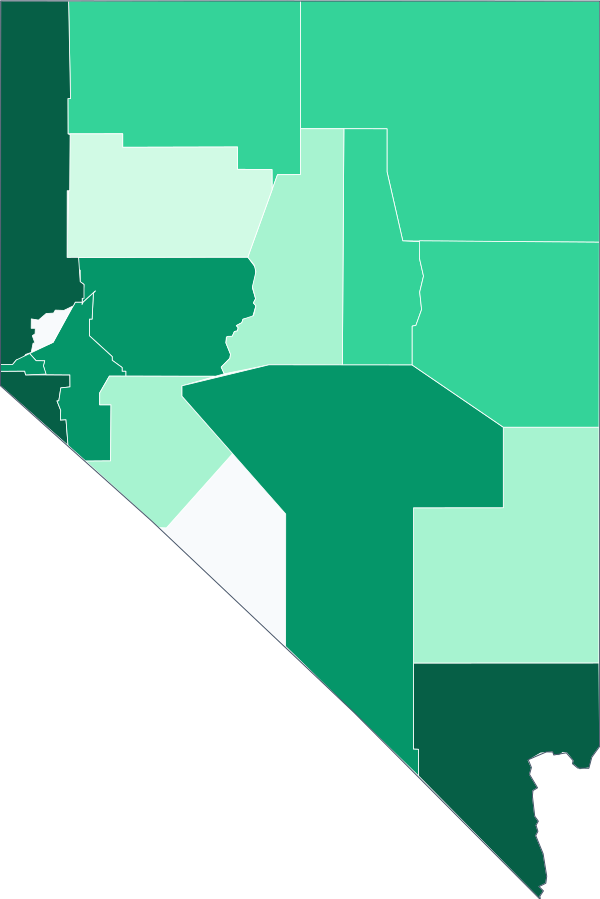 Nevada State value: $1,597 · 17 counties
-
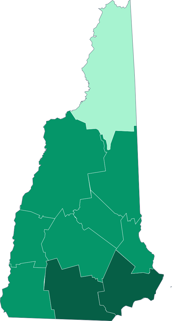 New Hampshire State value: $1,491 · 10 counties
-
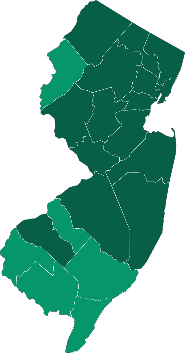 New Jersey State value: $1,720 · 21 counties
-
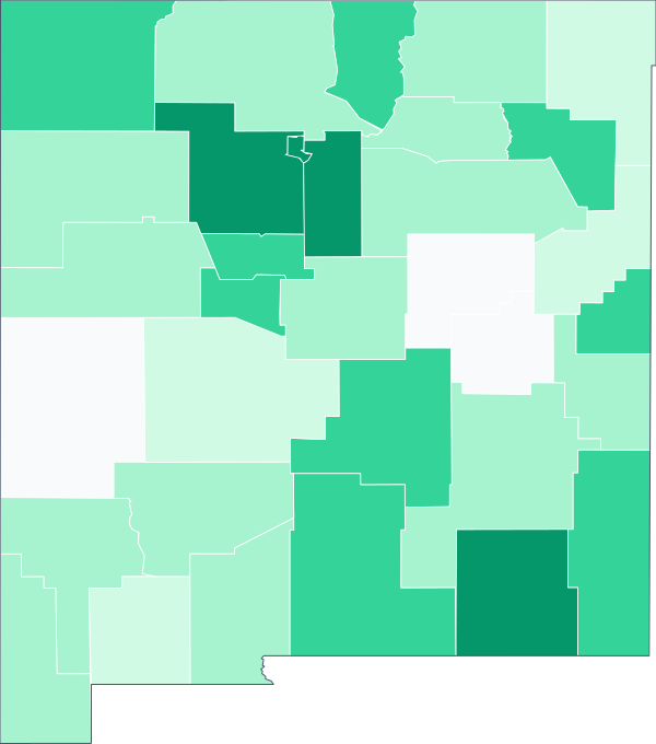 New Mexico State value: $1,067 · 33 counties
-
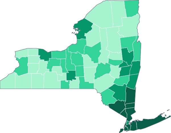 New York State value: $1,621 · 62 counties
-
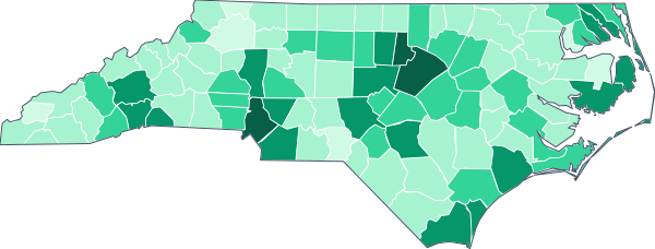 North Carolina State value: $1,228 · 100 counties
-
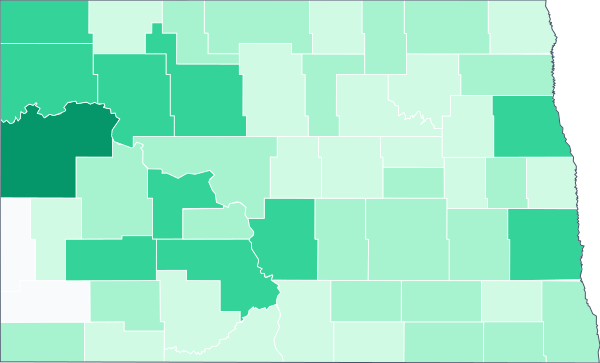 North Dakota State value: $954 · 53 counties
-
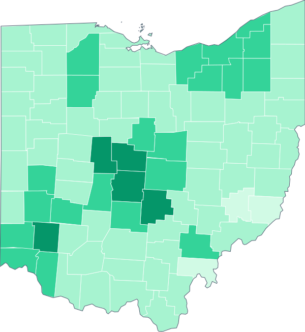 Ohio State value: $1,034 · 88 counties
-
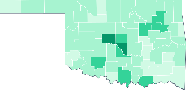 Oklahoma State value: $1,014 · 77 counties
-
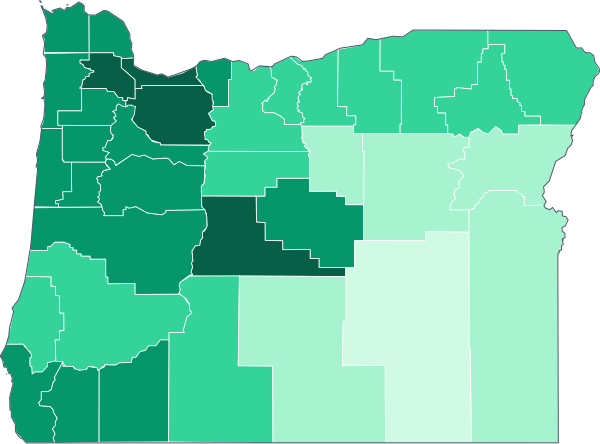 Oregon State value: $1,525 · 36 counties
-
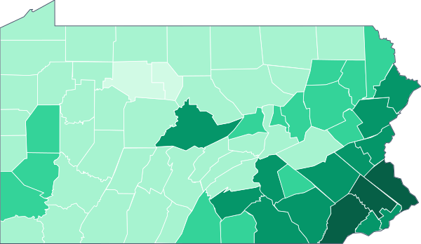 Pennsylvania State value: $1,209 · 67 counties
-
 Puerto Rico State value: $578 · 78 counties
-
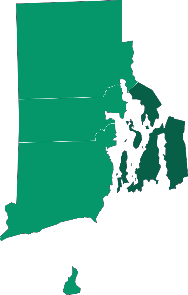 Rhode Island State value: $1,342 · 5 counties
-
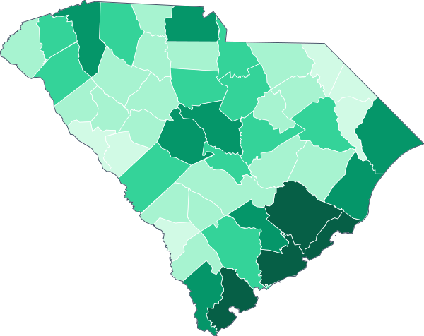 South Carolina State value: $1,180 · 46 counties
-
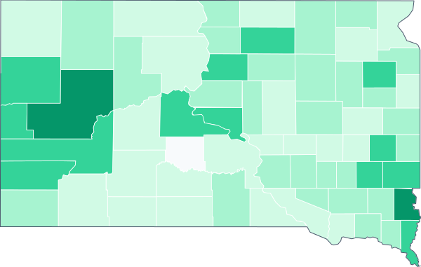 South Dakota State value: $946 · 66 counties
-
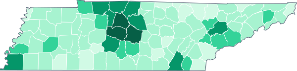 Tennessee State value: $1,189 · 95 counties
-
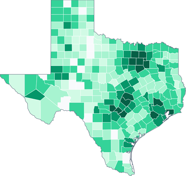 Texas State value: $1,403 · 254 counties
-
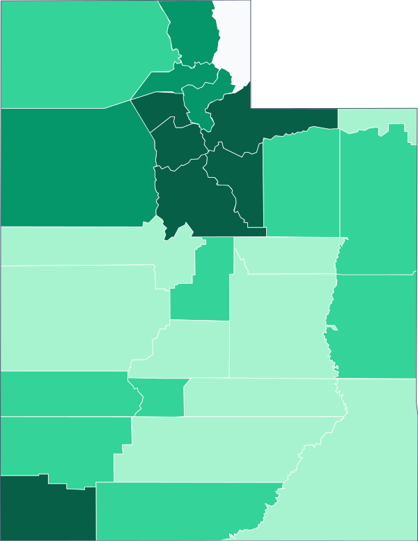 Utah State value: $1,496 · 29 counties
-
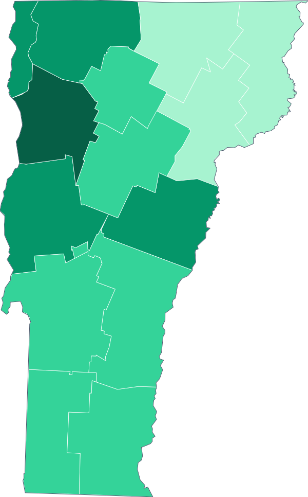 Vermont State value: $1,234 · 14 counties
-
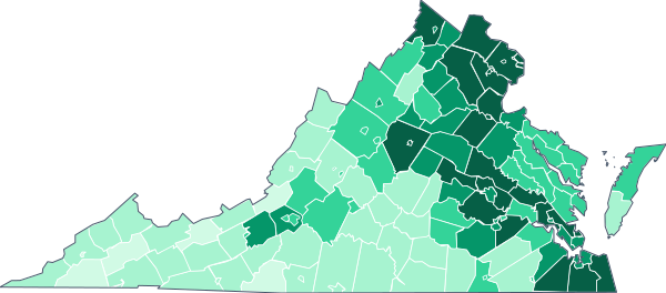 Virginia State value: $1,579 · 133 counties
-
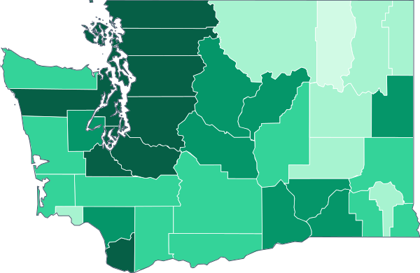 Washington State value: $1,760 · 39 counties
-
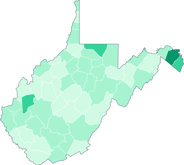 West Virginia State value: $872 · 55 counties
-
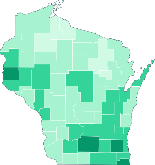 Wisconsin State value: $1,087 · 72 counties
-
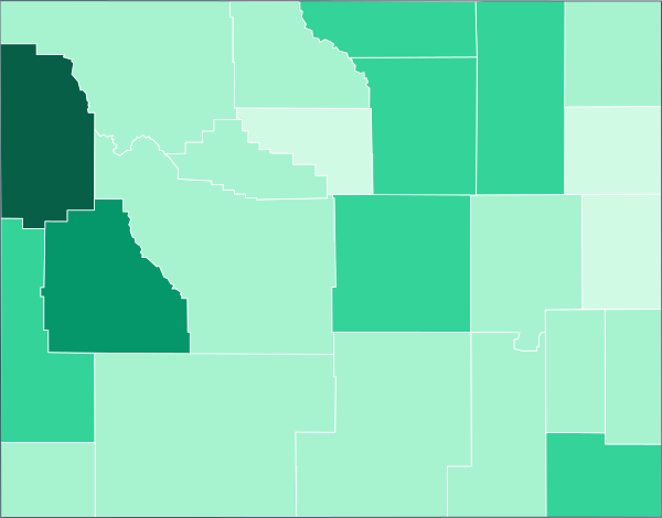 Wyoming State value: $992 · 23 counties
What it means for your family
Typical rent is what a renting household in your area pays today, utilities included. Compare it with your household income before you sign a lease.
How to read these maps
American Community Survey · Average 2020–2024 Source: American Community Survey (ACS) 5-year estimates Average 2020–2024 American Community Survey (ACS) 5-year estimates (external site)
- 1The color bands come from the distinct values of all places, so a shared minimum (like the FHA floor) does not swallow the other bands.
- 2The state map and the county maps use different scales: one compares states with each other; the others compare counties with each other.
- 3Places without data are gray: the Census does not publish some figures for very small counties.
- It includes households that have rented the same home for years, at rents below a new lease. The rent you are quoted today is usually higher.
- It mixes every home size; for a reference by bedrooms use HUD’s Fair Market Rent.
- In small counties the margin of error is large; we mark those numbers as approximate or leave them out.